Topographic Maps

To thru- or section-hike the Wind River High Route, I both carry and recommend three types of maps:
- Paper overview map
- Paper detailed maps
- Digital maps stored on a GPS unit
This 3-map system is standard for most of my trips; read an in-depth explanation and discussion of it. The information below is specific to the High Route.
1. Paper overview map
Wind River Range Outdoor Recreation Map, by Beartooth Publishing, 5th Edition
This double-sided map covers the entire range. It measures 25.2 x 39.2 inches and is printed at a scale of 1:100,000 with 100-foot contour intervals. I prefer this map over the Earthwalk Press maps, which have too much detail for an overview map (1:48,000 scale) and which cumulatively are twice as heavy and twice as expensive as the single Beartooth map.
2. Paper detailed maps
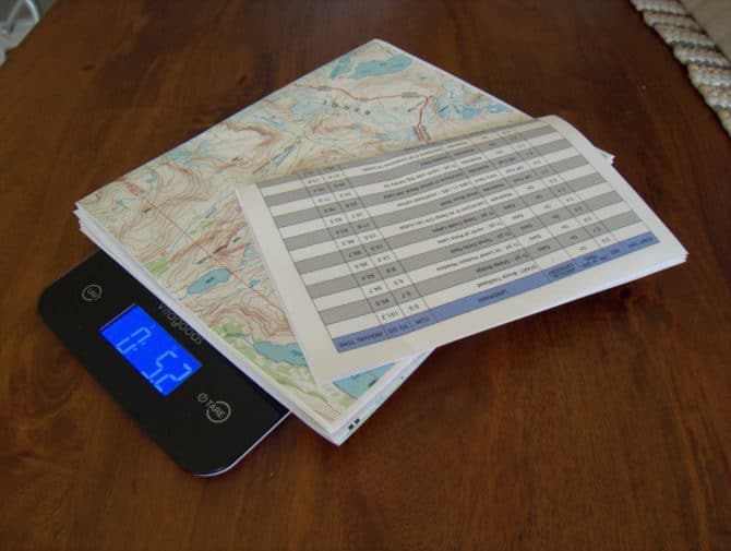
The Wind River High Route Guide includes print-ready digital PDF’s of topographic maps for the Primary Route and all Section Hikes. These maps were produced using CalTopo and the copyright is owned by Andrew Skurka Adventures LLC. Customers have permission to print the maps for their personal use.
For a base map, the Guide’s topo maps use the USGS 7.5-minute quadrangle series, which is the gold standard for topographic maps in the US. The maps have been annotated with critical route information, and the custom print tiles are centered over the route.
When printed on 11 x 17 tabloid paper, the maps will be at their native scale of 1:24,000 and the contour interval is 40 feet. If the maps are printed on smaller paper, the topographic detail will be compressed, possibly to the point of if being illegible.
Read my map printing suggestions.
Download a map of the Dinwoody Glacier area

3. Digital maps stored on a GPS unit
As an emergency just-in-case backup, a GPS with pre-downloaded 7.5-minute topographic maps plus other layers (e.g. USFS topo maps, historical maps, and Landsat satellite imagery) of the intended route and adjacent areas can be very useful. In lieu of a conventional handheld GPS unit, I use my smartphone in conjunction with an app, like Gaia GPS or BackCountry Navigator TOPO GPS.
Included with the Wind River Guide is a GPX file with very limited information. You’ll find waypoints for trailheads and for select high points, and a track that will help you identify the topographic map tiles you need to download onto your handheld GPS or smartphone. It does not include a track for the recommended route — that’s for you to figure out. If you want to add more waypoints to the GPX file, go for it.

I’m sure I’m behind in my map reading skills, but I don’t see any indication of the latitude, longitude, or UTM coordinates on your WRHR mapset. Do I need a tutorial on the USNG system to interpret the broader location of each map, or to use GPS coordinates in an emergency to locate myself on the map?
Thanks
What kind of GPS are you using? My assumption is that you use Gaia GPS or Backcountry Navigator, which are apps for your smartphone (and through which you can download the exact USGS tiles of the mapset), or your dedicated handheld will have some type of mapping screen, which can be correlated with the map print-out.
Does the “Wind River Range Outdoor Recreation Map” show the section on the Reservation?
Yes
Your page looks like you have a link to an example of a map, but it is not loading. Why is that?
Thanks!
Sue
Looks like it was a bad link. Should be fixed now.
Thanks, I got it to open.
Hello Andrew,
I just purchased your guide. I appreciate that you have chosen to leave out an actual track on your maps in order to leave some room for discovery. But I also see that you have included a lot of information in the form of annotated waypoints that, in the spirit of discovery, I would also prefer not to see on the map. For example, “Sound of Music setting,” or “5-star views, including of Blaurock” are not necessary for safety or route-finding, and seeing those notes on the map can create expectations that actually end up impairing one’s experience.
I’d like to suggest a simple solution: Include a second set of PDFs without the waypoint layer, or with a severely pared-down set of waypoints. I intend to rely exclusively on paper maps. I could imagine a scenario in which I printed out your maps without waypoints, then made my own pre-hike notations while referring to your maps with waypoints. This gives me the agency to modulate the level of discovery I want.
Unless I’m mistaken, providing that second set of maps without waypoints could be easily done. In fact, if you like this idea and want to try it, I’d gladly serve as a guinea pig this year. If you don’t, I might download and print out USGS quads and make my notations on them. However, I like your 11×17 format better, because that size is commonly available on laser printers.
Thanks for listening. My two cents.
Hi, I’m in agreement with Rick.