$25.00
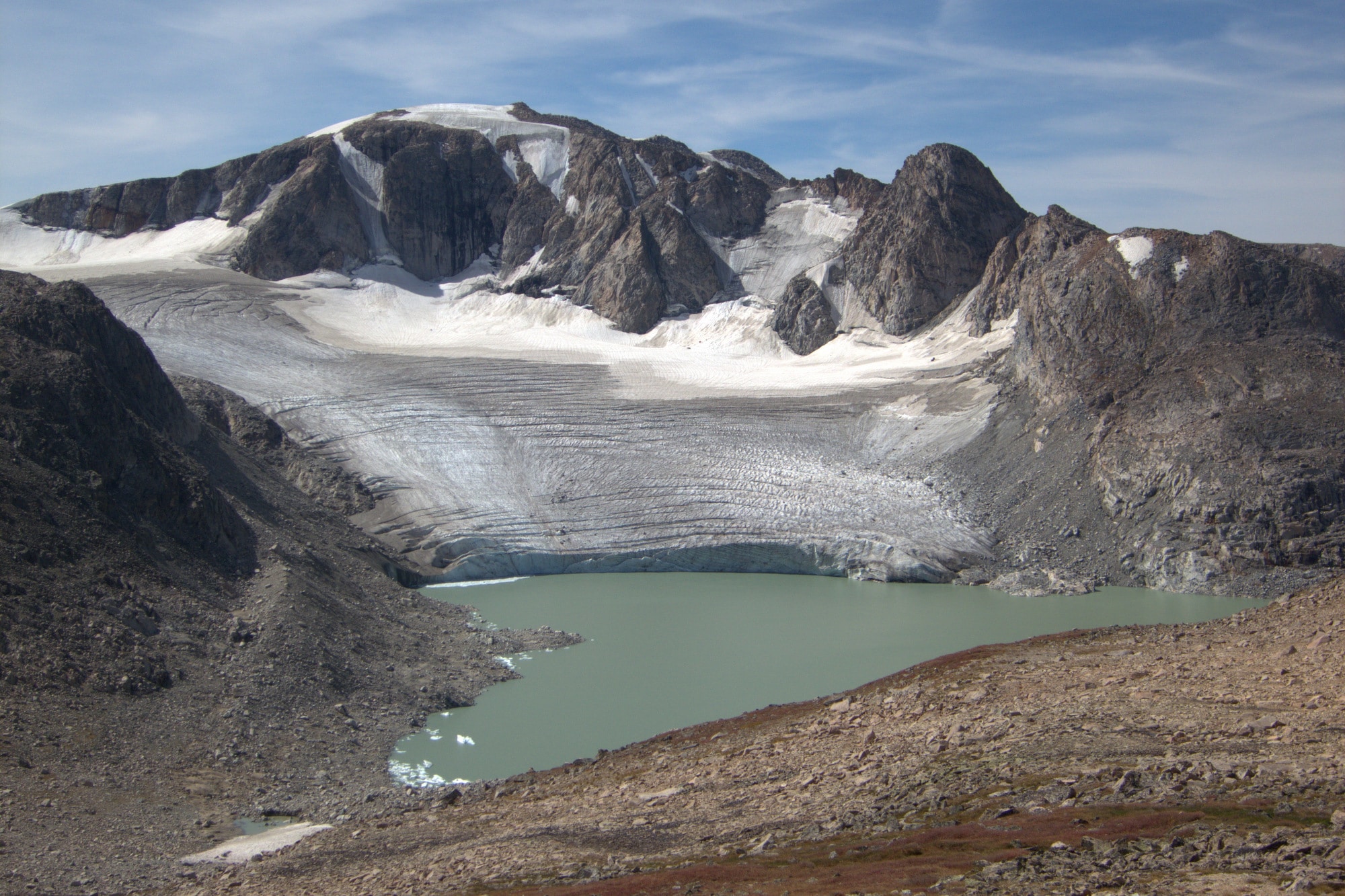
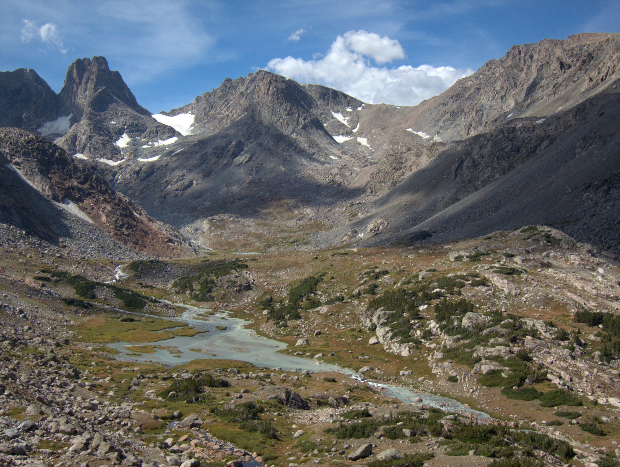
The world-class, 97-mile Wind River High Route is bookended by the range’s southernmost and northernmost 13,000-foot peaks, and it penetrates the range’s most spectacular part, the upper headwaters of Dinwoody and Torrey Creeks, home to Wyoming’s high point and the highest concentration of glaciers in the American Rockies.
This is the complete Wind River High Route. It fully maximizes the topographic and scenic potential of the range, and is not a compromised experience. It is best done as an end-to-end thru-hike, but its eight Section Hikes are more approachable and convenient.
For aspiring Wind River High Route thru- and section-hikers, the Guide is a must-have resource. It includes planning information, route descriptions, data sheets, and an extensively annotated topographic map set for the Primary Route, eight Section Hikes, and Alternates.
Description
In the Wind River High Route mini-site, I have posted extensive information to help you decide if this route is right for you. If you’re on this page, I assume you wish to proceed. Your next step is to download the Wind River High Route Guide, which includes must-have resources for thru- and section-hiking the complete Wind River High Route.
Mapset
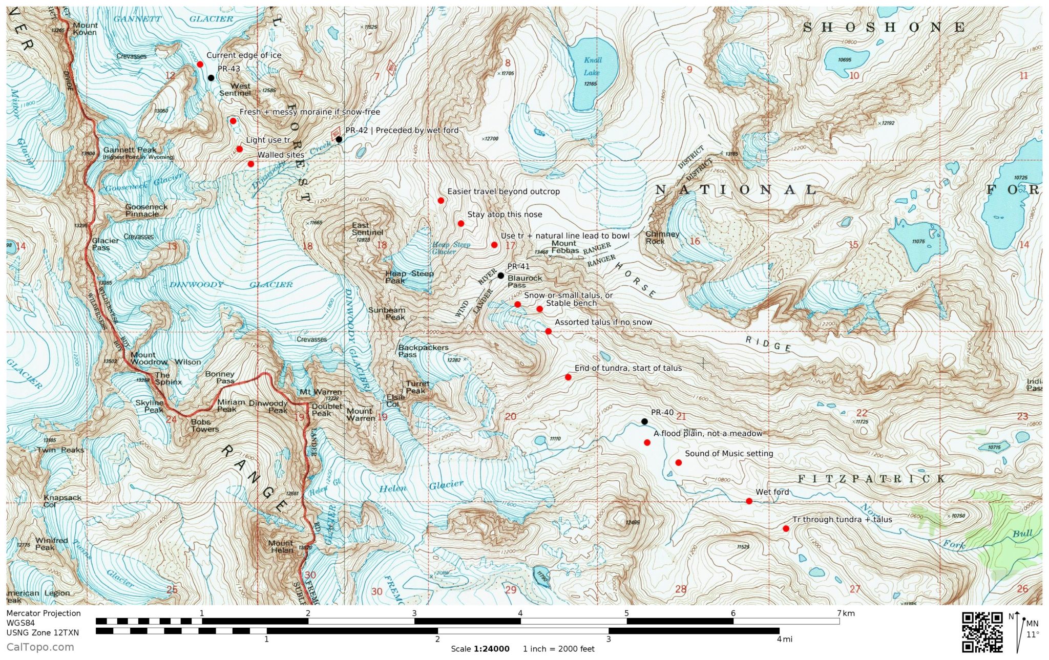
The Guide includes a complete and excellent Mapset, with separate print-ready PDF’s for the Primary Route and its Alternates, and each of the Section Hikes. The maps were developed using CalTopo, using the gold standard USGS 7.5-minute topographic series as the base map.
The maps are so extensively annotated that you will probably refer to the Guidebook text only for the most complex sections. Intentionally, I did not draw a specific line of travel on the map — I didn’t want to steal your fun by telling you exactly where to go.
When printed on 11 x 17 paper, the map scale will be its native 1:24,000. Printing on smaller paper will compress the topographic detail, perhaps to the point of being illegible. Contour intervals are 40 feet.
Sample map of the Dinwoody Glacier area
Printing tips for topographic maps
Guidebook
The Guidebook has three parts:
Part 1 (“Before you go”) has information to help you plan your trip, e.g. transportation, permitting, direction of travel, resupply, recommended equipment. This information is in addition to the preparatory materials at the mini-site.
Part 2 and Part 3 (“As you go”) are complementary to the Mapset. They offer general information and context, and in-depth route information for sections that really need. The Primary Route (thru-hike) and its Alternate Routes are described in Part 2, and the Section Hikes and their Alternate Routes are described in Part 3.
Part 1, 2, and 3 are provided as a separate PDF file, designed for printing on Letter 8.5 x 11 inch paper. Part 1 need not be printed since it has minimal or no relevance in the field, but you may prefer a physical copy to read and annotate before your trip. Thru-hikers should print Part 2. Section-hikers should print from Part 2 and Part 3 the pages that are relevant to their itinerary.
Sample: Guidebook — Part 2 — As you go, pages 1 & 2
Data Sheets
These quick-reference spreadsheets list the incremental and cumulative distances and vertical change between key landmarks. They are extremely useful in planning your trip, scheduling your day, and gauging your pace. Databooks for the Primary Route, Section Hikes, and Alternates are included.
Sample: Datasheet for the Primary Route, page 1
GPX file
I have included a GPX file with very limited information. You’ll find waypoints for trailheads and for select high points, and a track that will help you identify the topographic map tiles you need to download onto your handheld GPS or smartphone. It does not include a track for the recommended route — that’s for you to figure out.
Download details
With a decent internet connection, the entire Guide can be easily downloaded. The files have been compressed into a single zipped file and must be extracted using standard Windows or Apple software before accessing. It’s just over 500 MB.
If you need a copy on DVD, please contact me with your mailing address, and attach a receipt of purchase.
If your access expires before you have had a chance to download the files, of if you lose the files at some point, contact me so that I can renew your access.
Resources not included
In addition to the detailed set of topographic maps included with the Guide, I would also recommend obtaining an overview map of the Wind River Range and digital maps of the area stored on a GPS or smartphone. Read more.




Anastasia Allison (verified owner) –
My husband and I completed the Wind River High Route using Andrew Skurka’s guide in the end of August, 2016. Last year (2015), we completed a loop that included the Cirque of the Towers and Wind River Peak, so we skipped that portion of the official route and instead started from Big Sandy and departed the trail onto the true high route at Skull Lake. From there, we completed the entire route to Trails Lake.
Our experience using the guide was absolutely phenomenal. The maps are easy to read and use – prior to the trip, I just printed up everything that I needed. Skurka also includes some alternate routes, so that if you want to avoid a feature (i.e. there are a few class 3 sections, but none were too difficult), you have options. Or, in the event of horrible weather, you will be able to descend from higher altitudes to a safer spot. He also includes numerous section hike options – so if you don’t want to hike the entire route, you can tackle it in chunks. Really, there is something for everybody who wants to explore the area, no matter what your style of backpacking.
I found the guide to be the PERFECT mix of providing critical information required to give us the confidence we needed to tackle each day, yet not “hand-holding” us through the route-finding. After all, a huge part of the adventure is the navigation and picking the right line. Skurka’s guide gave us what we needed so that we didn’t spend an entire day backtracking or feeling lost, but we still had to use our brains. This was still, very much, a true wilderness experience with a lot of unknowns – and I mean that in a good way. If you are doing a high route like this (which is mostly off trail), you don’t want to follow breadcrumbs on a GPS like a drone. You are doing this route, because you want the challenge of figuring it out. The guide gently leads you through that process.
One thing I really liked about the guide is that Andrew included the length of time that it took him to cover distances between points on the map (i.e. length of time to travel from the BASE of Blaurock Pass to the top of Blaurock Pass). While looking at the hiking time of a professional, acclimated hiker who is in the peak shape of his life can be somewhat demoralizing (and impressive) for a husband and wife who live at sea level in Seattle, we found these times EXTREMELY helpful in planning our day. In Seattle, we are very strong hikers – easily covering over 20+ miles in a day. In the Wind River Range, hiking on boulders at over 12k, not so much. By comparing our times to Skurka’s time, we were able to notice a trend (i.e. add an hour to any ascent up a pass), which helped us plan our days accordingly and realistically.
Overall, the biggest compliment that I can give to this guide is that we trusted it. Yes, the route was stressful and challenging at times, but I trusted the maps, the information provided on them, and the notes in the guide – they never led us astray. Also, Skurka gets 500 bonus points for including 2 Theodore Roosevelt quotes in the final section of the guide (the “Continental Crux” section).
This trip was truly a dream for me – if you want to actually read about our experience on the route, I’ve been documenting it on my blog (anastasiaallison.com … just go to “blog” and start with day 1). I cannot begin to thank Andrew enough for the hard work he put into this guide. When you get the guide and pour through the maps, it is obvious that this was not just slapped together – this guide was assembled by somebody who A) is extremely familiar with the route and literally every step along the way and B) somebody who absolutely loves what he is doing and wants the experience of being on the high route to be as incredible and rewarding as possible. The passion that he has for this locale is completely evident – even in the small tidbits of information provided on the maps (i.e. our favorite – “class 3 scramble to knife’s edge – yeehaw!”) This was a true labor of love for Andrew, and it shows. It was worth every penny and then some – how can I possibly place value on spending 9 of the most incredible days of my life with my husband in one of the most beautiful places on earth? I really can’t.