Route Development Parameters

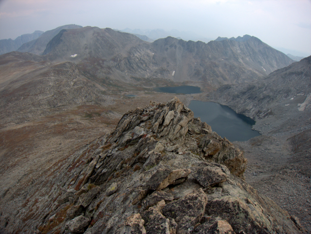
Europe Peak is a mid-route 12,000-footer that sits on the Continental Divide. The ascent involves a Class 3 scramble that tops out on this knife’s edge, just below the summit flat. Smoke from nearby wildfires obscured my views in this area, but thankfully it did not stick around.
The mission of the Wind River High Route is to follow the crest of the range, which happens to coincide with the Continental Divide. But the route still has to be a practical backpacking trip.
Considerations
1. Technical challenge
The Wind River High Route involves no technical climbing (Class 4 or higher) and it can be done entirely in trail running shoes. Depending on the time of year, the current conditions, and one’s skills, micro crampons and/or an ice axe may be useful, but never essential.
2. Logistics
The range’s natural termini are Union Pass (in the north) and South Pass (in the south). But there is little to gain by extending the Wind River High Route beyond Bruce Bridge or Trail Lakes: the topography is so-so, if not mundane, and the logistics become infinitely more difficult.
3. Flow
The Wind River High Route does not ascend every conceivable pass, climb every summit, stay atop the Continental Divide for as long as possible, or avoid trails at all costs. To the contrary, it maintains an intuitive flow, following natural lines of travel; it never feels contrived, or hard for the sake of being hard. If you’re disappointed that it bypasses certain areas, darn, you’ll have to come back.

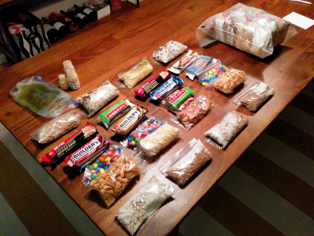
Without any convenient resupply opportunities, pack weights at the start of a Wind River High Route thru-hike will be heavy with food. Here, 9 days at about 1.5 pounds per day.
Not considered
1. Timeline
The Wind River High Route goes where it should go. It was not shortened or made easier (thus faster) in order to accommodate a particular schedule or itinerary.
2. Resupply
A week or two of food is heavy, I know. If it’s a deal-breaker, consider doing or shorter section-hike or hiring an outfitter to drop off a food cache. Otherwise, it’s a long hike out to Boulder or Pinedale, the two least inconvenient options.
3. Conditions
To complete the entire route exactly, cooperative conditions are necessary. In bad weather (e.g. severe thunderstorms, freak summer snowstorms), many sections cannot be safely completed, and low-elevation alternates will need to be followed. High water and extensive snow-coverage are additional hazards.