Trail & Route Comparisons
The Pfiffner Traverse has most in common with other backpacking high routes like the Sierra High Route, Kings Canyon High Basin Route, Wind River High Route, and Glacier Divide Route.
These routes feature extensive off-trail travel and substantial vertical gain and loss while tracing a definitive topographic feature like a mountain crest or watershed through a world-class backcountry destination. Technical equipment is not necessary, although lingering snowfields may warrant spikes and an ice axe early in the season.

Relative to the aforementioned routes, the Pfiffner Traverse is shorter and consists of less off-trail travel as a percentage of its total length. However, it remains at higher elevations and sets a top-score for vertical relief per mile. Overall, its relative difficulty should be about the same.
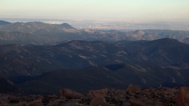
Perhap the most standout feature of the Pfiffner Traverse is its accessibility. Millions of people live within a 2-hour drive of its trailheads; the Front Range is one of the most popular backcountry areas in the state; and downtown Denver is directly visible from the southernmost 13’er, Mt. Flora. Somehow, however, the Pfiffner Traverse almost always feels wild.

Long-distance trails in the Mountain West like the Colorado Trail, John Muir Trail, Continental Divide Trail, and Pacific Crest Trail are stepping stones to the Pfiffner Traverse, but do not teach all necessary prerequisite skills, notably off-trail navigation.
I would expect thru-hikers to also struggle with the route’s physical and emotional rigor. Off-trail travel requires more strength and balance than on-trail hiking, and it does not allow for mental auto-pilot. The vertical relief is also dramatic, with at least twice as much climbing and descending per mile compared to these more established routes. In short, the Pfiffner Traverse forces you to always be “on,” which slowly wears on you.