Trip, race & hunt reports

Q | Describe your your prior backpacking experience — generally, in the High Sierra, and in early-season conditions. A | Since I was young, family vacations have revolved around outdoor activities (hiking, skiing, fishing, etc.). My true “backpacking” experience began in the summer of 2016 when I went on an 11-day expedition to Alaska as…

To connect Buchanan Creek with Cascade Creek in Colorado’s Indian Peaks Wilderness, the Pfiffner Traverse ascends a knife-edge pass at the head of trail-less Thunderbolt Creek that offers sweeping views of the Pawnee Lake basin and the Continental Divide. The alternative to this route is an ordinary and relatively view-less all-trail route around the west…

The Northeast Gully is the most difficult feature on the Pfiffner Traverse: it’s filled with snow through mid-summer, covered with talus and loose scree in late-summer, and always steep. Unfortunately, it’s also a critical connector between Lone Eagle Cirque, Lost Tribe Lakes, and upper Arapaho Creek, all in Colorado’s Indian Peaks Wilderness. An easy all-trail…

Q | Did you encounter any mosquitoes? At what elevation and times of day? Thankfully, we encountered mosquitoes only a few times, and only once or twice were they bad enough that we put on our headnets. That said, those mosquitoes we encountered swarmed aggressively (that that’s coming from someone who grew up in South…

Thanks to a delayed arrival of winter, in late-October of last year I finished piecing together the Pfiffner Traverse, a 77-mile high route through Colorado’s Front Range between Milner and Berthoud Passes. But I felt it important to get on the route again this year as a thru-hiker and as soon as conditions permitted, to…
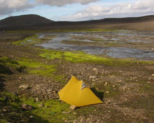
I am a hut warden in one of the huts on Laugavegur. It has come to my attention that many of my guests have read your post when preparing for the Laugavegur hike. Not surprisingly, as it is both a very informative post and one of the top results when you google “Laugavegur camping.”

Quick links Official results Strava data Special thanks to Aleksandr Khomyakov and Judy Garber for some of the photos, and Judy and David Garber for hosting me at their picturesque ranch in Big Horn. When I pulled into Elk Camp at Mi 43.5 of the Bighorn 100, I was much less happy than I should have been.…

The Bighorn 100 Trail Run begins at 10 AM Mountain Time on Friday, June 16. If you’re interested, there will be live tracking from the three major checkpoints: Dry Fork, Footbridge, and Jaws. Use these links: Quick results: Last check-in Detailed results: All splits The links should take you directly to the 2017 race and…

After taking Andrew’s Backpacking Fundamentals course in 2015, I decided to test my new skills on Loop 4 of the Wind River High Route. Prior to it, I had completed several trips on the Appalachian Trail and on the Florida Trail. The Wind River High Route promised adventure, but also freedom from fixed itineraries, designated campsites,…
We’re less than a month out from the Bighorn Trail Run — which includes a 100-, 50-, 32-, and 18-miler — and I’ve been unable to find an entry list. One has not been made available on the race website or by Its Your Race, the event management platform. And an email inquiry in March to…